Customer Story 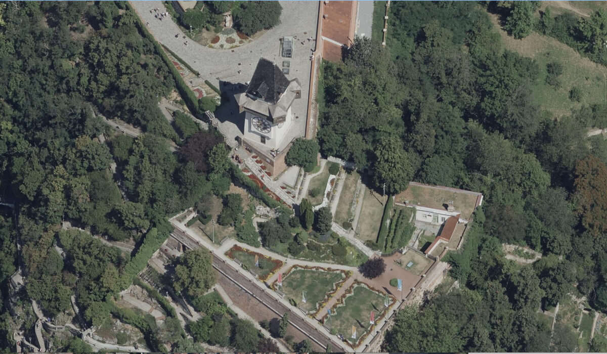
March 2026
How the City of Graz Modernised Its Geodata with MEASUREE
Since 2022, the City of Graz has been using MEASUREE for the annual evaluation of its oblique aerial imagery. We show how the workflow works, what results are achieved, and why the municipality chose a European solution.
Read more →
Product News 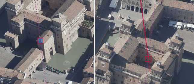
February 2026
New 3D Guide Lines for Hidden Object Points
The latest update introduces 3D guide lines that enable the reconstruction of hidden building corners.
Read more →
Customer Story 
January 2026
Luxembourg Survey Office: EU Reference Project
How the Luxembourg Survey Office uses MEASUREE for nationwide declassification.
Read more →
Fachbeitrag 
December 2025
Whitepaper: Aerial Surveying for Municipalities
Why more and more municipalities are adopting photogrammetric evaluation and how MEASUREE makes getting started easier.
Read more →
Update 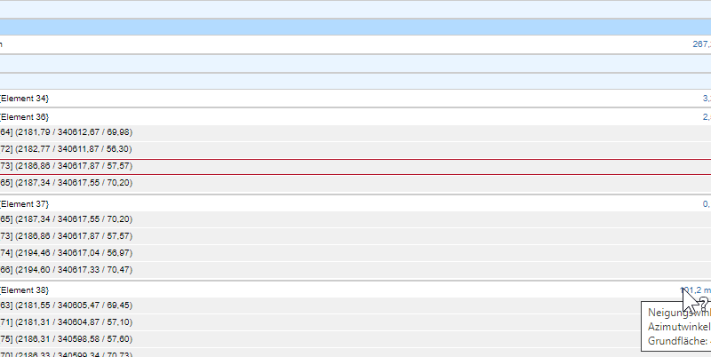
November 2025
Release: Extended Export Formats and DXF Optimisation
Shape, GeoJSON and DXF – with improved attribute transfer and new configuration options.
Read more →
Product News 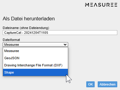
October 2025
MEASUREE at Intergeo 2026
A preview of our appearance in Munich – live demos, expert discussions and new contacts.
Read more →